Friday was supposed to be our easy day. On paper there was almost nothing in it. In practice it turned into one of the longest days of the week: the pilgrimage town of Candelaria in the morning, a hike up Montaña Roja, the red volcano by El Médano, after lunch, and La Orotava on the way home, because it kept falling off every other day’s plan.
This article covers the first two. Montaña Roja is the reason to come south, and Candelaria is a natural stop on the way, as long as you know what you’re getting: a basilica, a parking hunt, a building site where the famous statues used to be, and very cheap churros.
The short version:
- Montaña Roja: a 171 m (561 ft) red volcanic cone on the south coast, protected as a special nature reserve. Our loop, around the back of the volcano and then up to the top, was 4.2 km (2.6 mi) with 171 m (561 ft) of climbing, and took just over two hours with a lot of photo stops. It’s a completely different landscape from the green north.
- The surface: loose, gravelly and slippery in places. Wear proper shoes and expect to slide.
- Playa de La Tejita: the kilometer-long natural beach under the volcano. We only walked down from the car park to look, so the practical details there come from research rather than a swim.
- Candelaria: the Basilica of Our Lady of Candelaria, patron saint of the Canary Islands, is free to visit. The bronze statues of the nine Guanche kings are gone until the square’s renovation is finished, currently estimated for the end of 2027.
- Parking in Candelaria: the seafront car park was full. We found a municipal car park where the first two hours are free.
- Food: €1 (~$1.1 USD) for four churros, and a barraquito, Tenerife’s layered coffee with liqueur.
Montaña Roja: The Red Volcano by El Médano
What Montaña Roja is
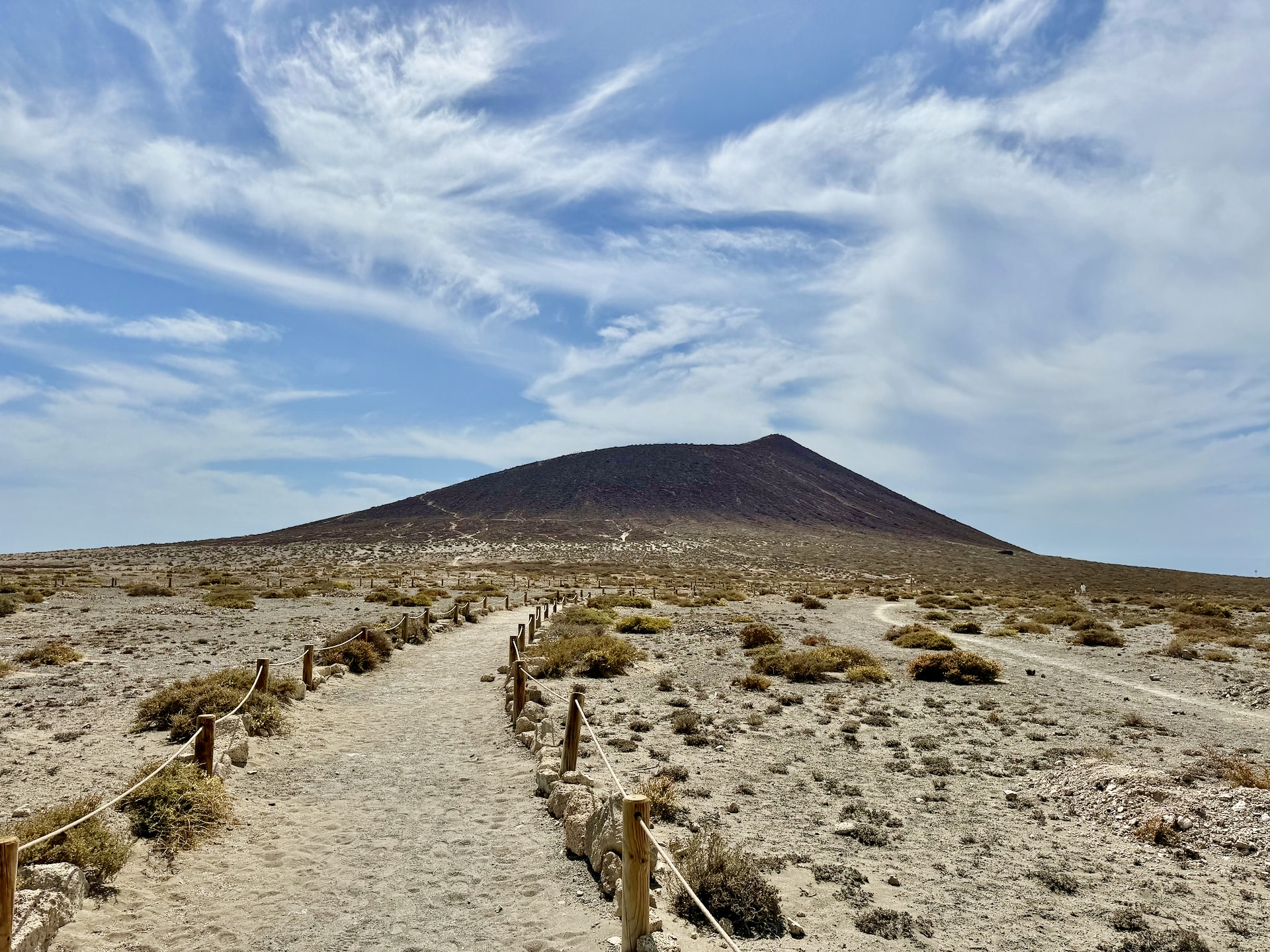
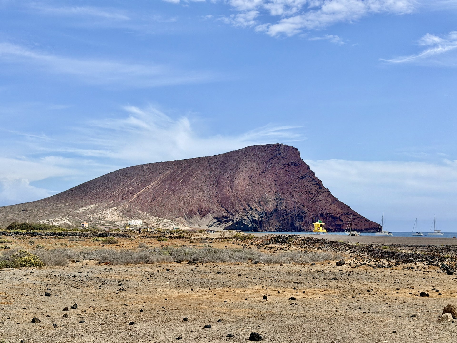
Montaña Roja is a volcanic cone right on the coast between El Médano and La Tejita, a few kilometers from Tenerife South airport. It’s 171 m (561 ft) high and stands at the center of a 166-hectare (410-acre) special nature reserve, which also covers the beaches and the dunes around it. The color comes from basalt pyroclasts, the loose volcanic material the cone is built from, and in the afternoon sun it really is red, shading into orange and yellow.
Everything else we’d seen on the island so far was black. Black rock, black sand, black lava at Punta de Teno. Montaña Roja is the first place that looked like a different planet rather than a different beach.
Our route around the back and up
We followed a route on AllTrails called Montaña Roja (Red Mountain): a loop that first leads around behind the volcano along the coast, comes back, climbs to the summit, and then goes down again. Several Google Maps reviews recommended exactly this route over just walking straight up, and they were right.
AllTrails starts the loop at La Tejita beach and makes it 4.8 km (3 mi). We joined it a bit further along instead, from the Montaña Roja car park at the foot of the volcano on the El Médano side, listed on Google Maps as “Inicio sendero”. The first stretch is a flat dirt track with the cone in front of you. Next to it there’s a beach where the kitesurfers were out in force. El Médano is one of Europe’s best-known spots for kitesurfing and windsurfing, and the wind that makes it so is the same one I’ll get back to at the summit.
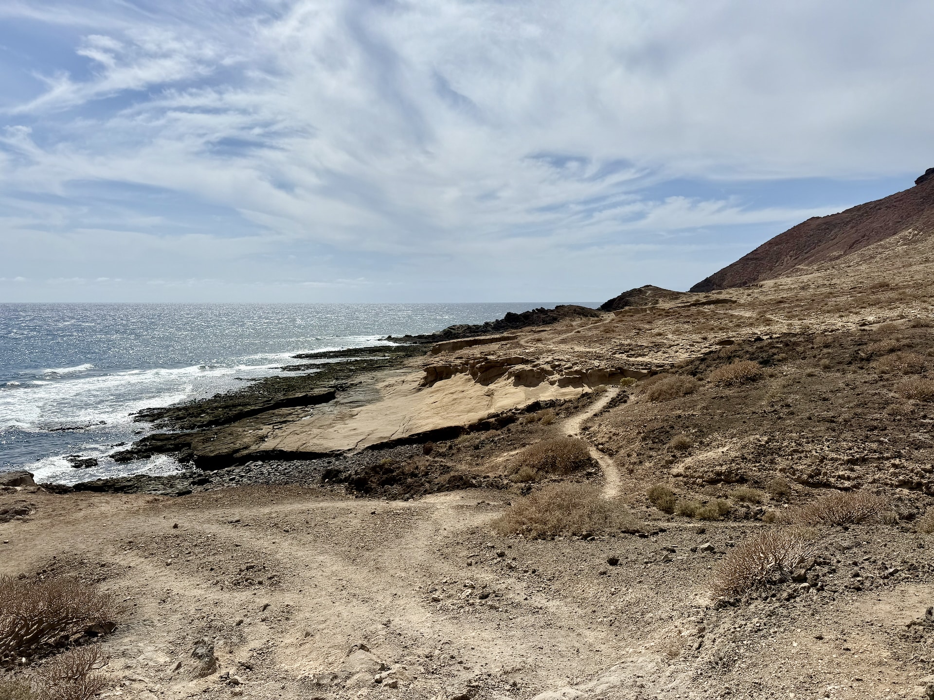
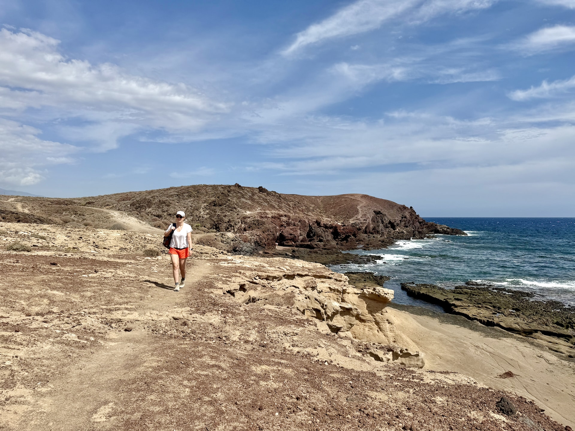
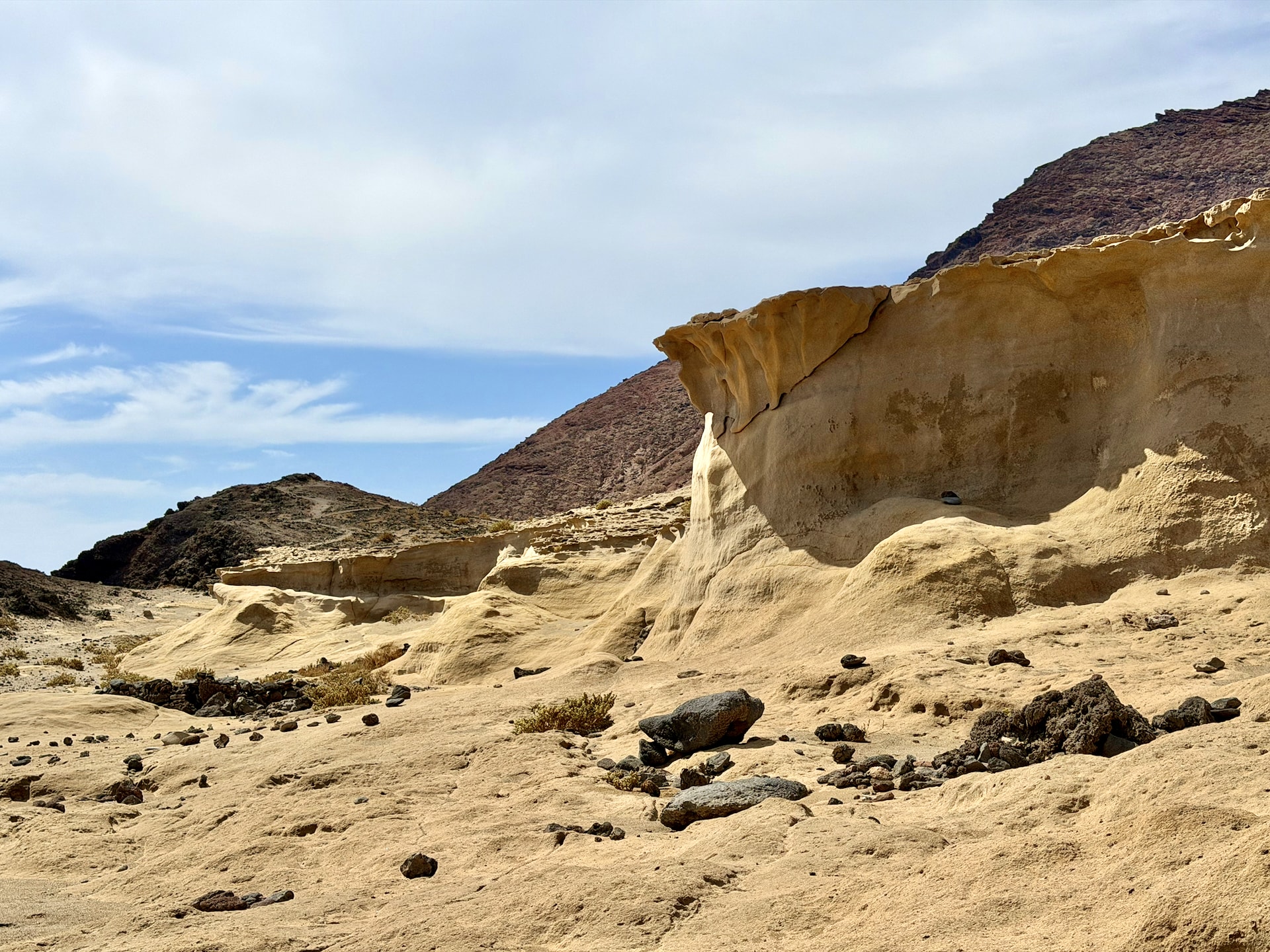
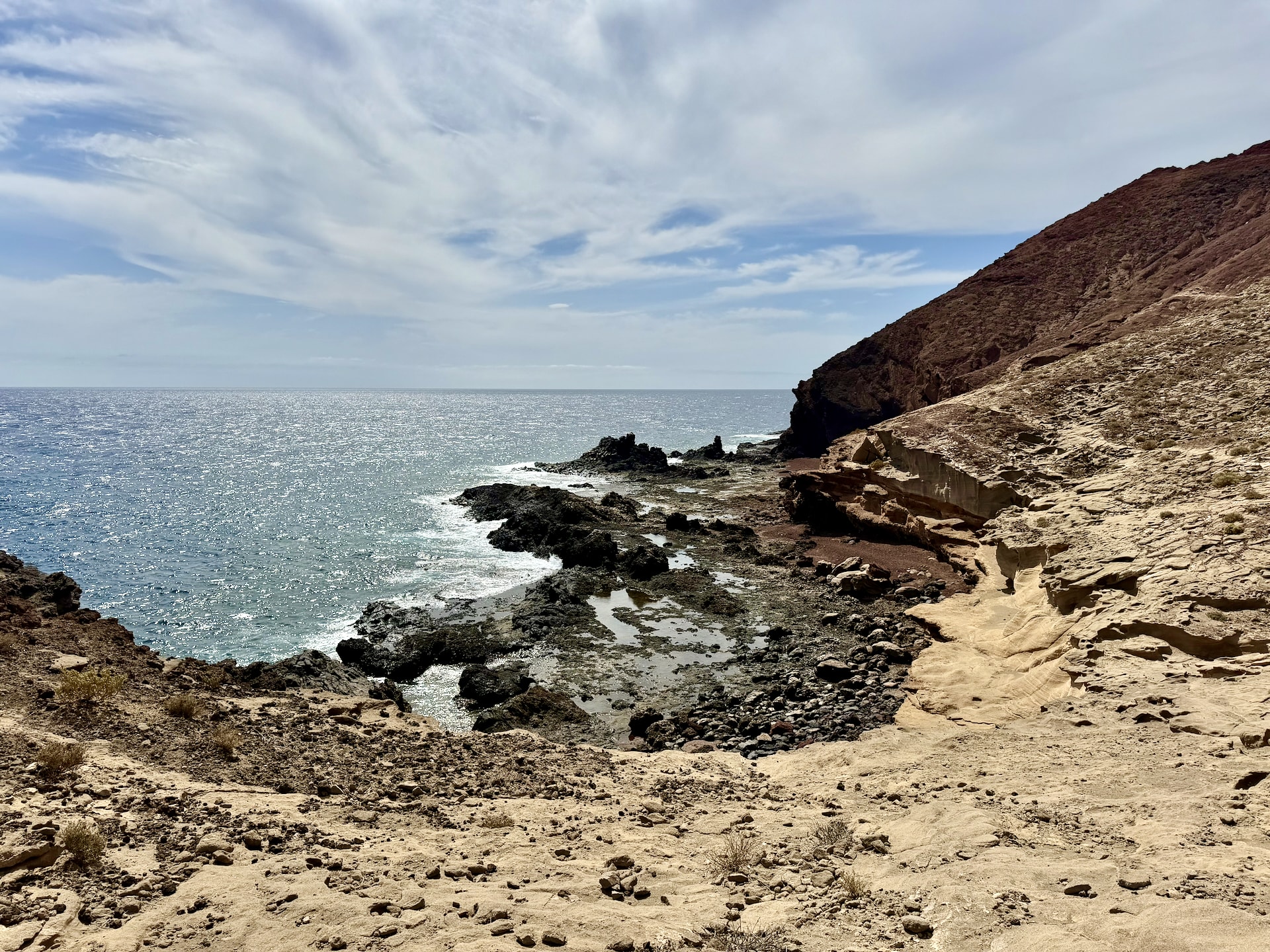
Then the path heads south-east, past Montaña Bocinegro, a much smaller cone only 36 m (118 ft) high, and down to the sea behind the volcano. That’s where it gets good. It’s a Mars-like landscape: not black, as everywhere else on the island, but reddish-yellow, with strange rock formations, small coves and the open Atlantic. The coast here is extremely jagged. The island is geologically young, and it hasn’t had time to wear any of it smooth, so it’s all sharp rock and sudden drops.
We also cut the end. The full loop carries on from the summit down to La Tejita, but we were going to drive there anyway, so after coming down we went almost straight back to the car. Our recording came out at 4.2 km (2.6 mi) and 171 m (561 ft) of climbing, in 2 hours 9 minutes. Only 1 hour 32 minutes of that was moving. The rest was me taking photos.
The surface, and how I fell
The ground is the thing to know about. It isn’t rock and it isn’t really sand either. It’s gravel, or dust, or a sort of coarse grit, big-grained like tiny pebbles, and in a lot of places it rolls under your feet like ball bearings. I went down once. Not dramatically, but properly. Good thing that ever since my fall in Sofia, I’ve carried disinfecting wet wipes everywhere.
Wear proper shoes: trail shoes or at least sneakers with real grip. Sandals are a bad idea, and flip-flops are a worse one.
There is no shade anywhere on Montaña Roja. On our afternoon, the airport weather station next door recorded 29 °C (84 °F) and almost nine hours of sunshine. Go in the morning or late afternoon if you can, and bring more water than you think you need.
The climb to the summit
After the coastal loop, we came back a short way inland and climbed to the top along the ridge from the north-east, then came down the same way. AllTrails rates the route as easy. It was fairly hard going. Funnily enough, it’s almost exactly the same amount of climbing as the summit trail on Teide, which we did the very next day: 183 meters there, from the upper cable car station (see our Teide permit guide). The difference is that on Teide you’re doing it at 3,600 meters, and here you’re doing it in the heat, on gravel.
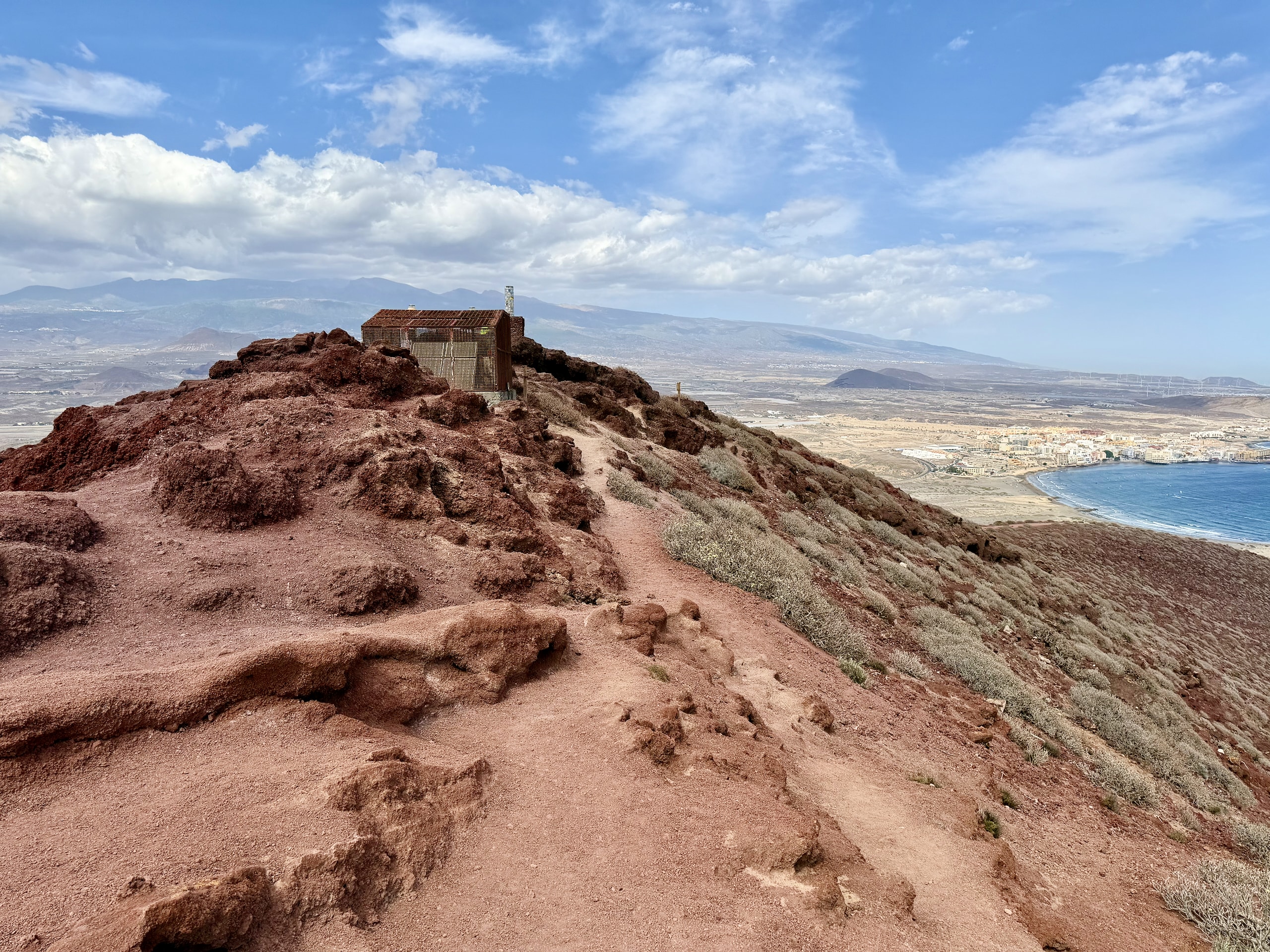
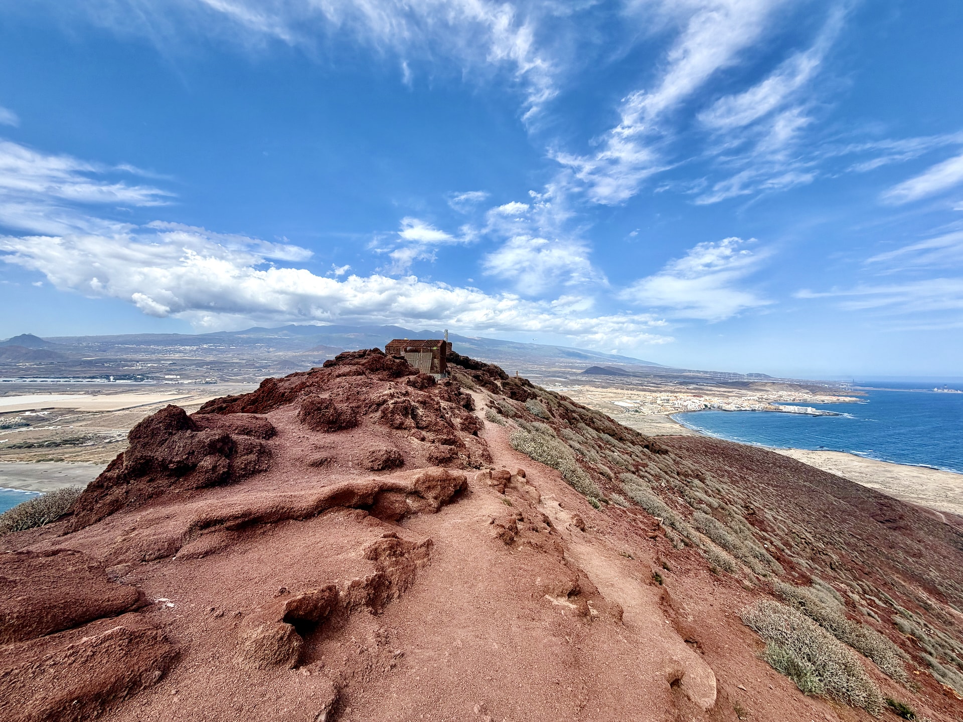
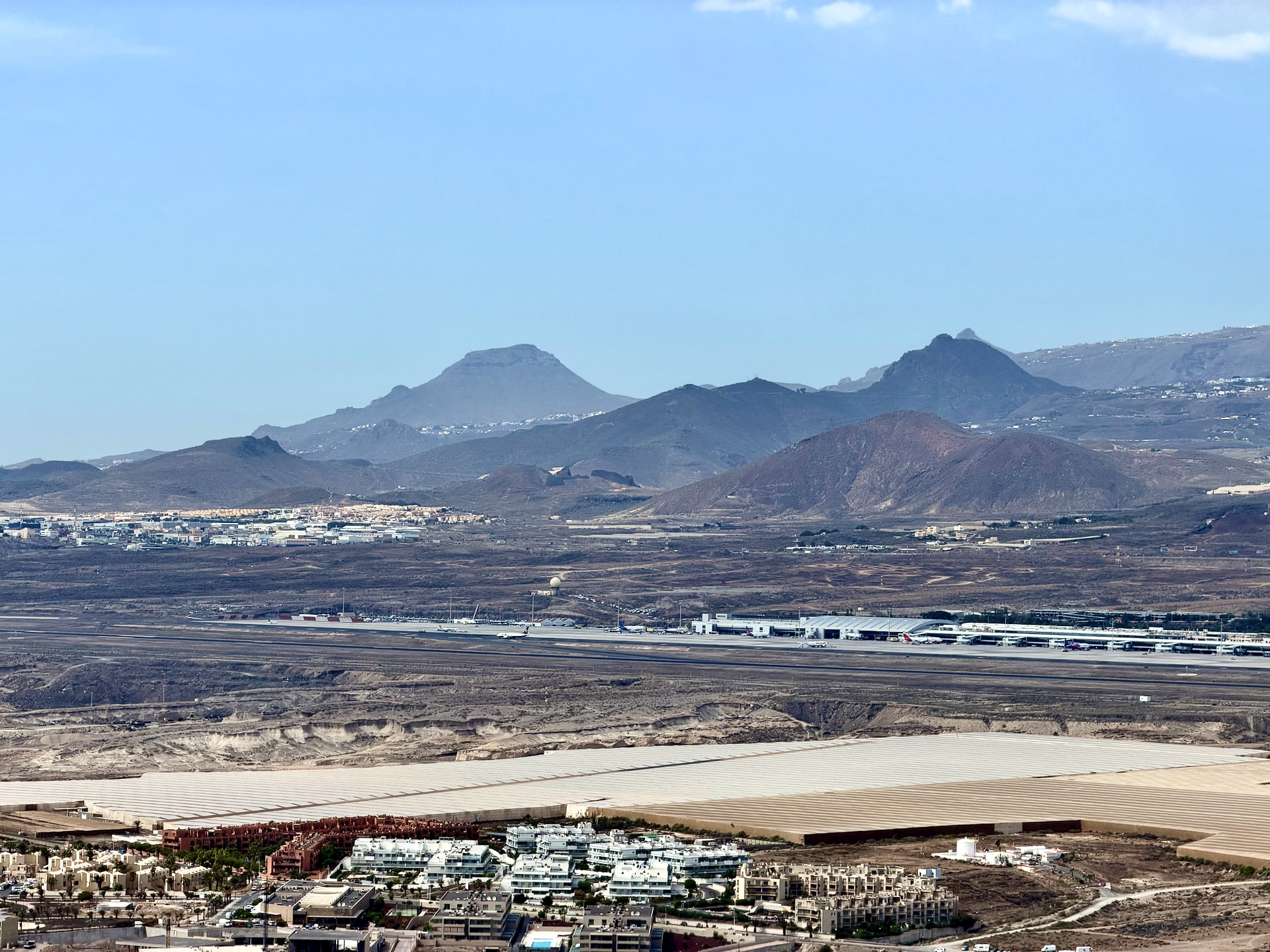
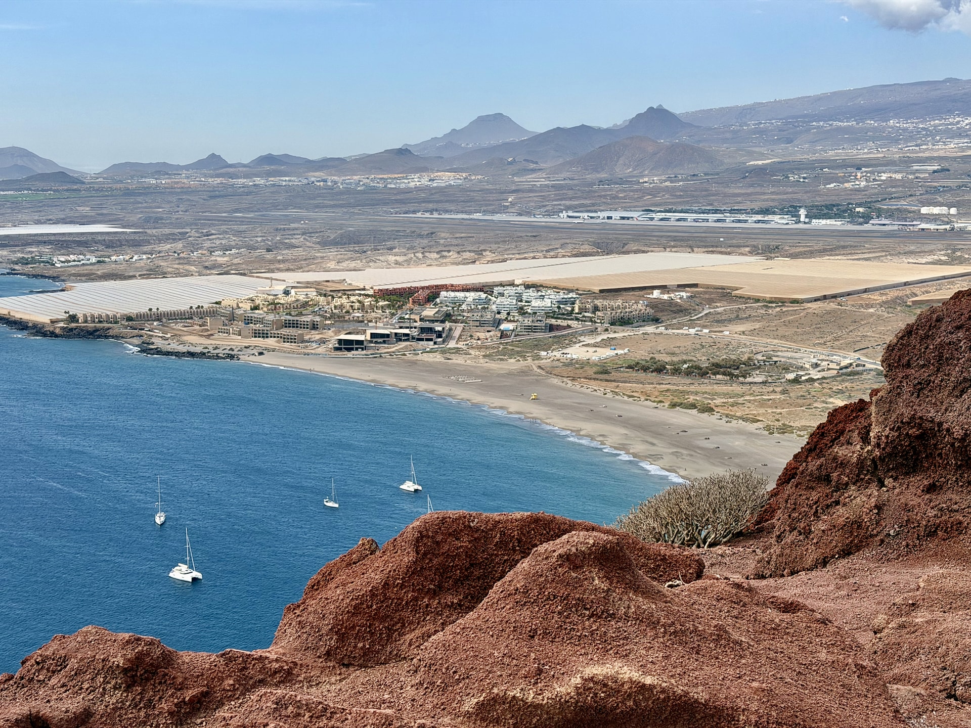
We reached the top. We had a view. Below us were El Médano’s bay and La Tejita beach, and inland, a whole row of other volcanic cones.
Why the volcanoes all look the same
From the summit, you can see four or five more volcanoes, and they all have the same shape as Montaña Roja. The peak sits on one side. In one direction it drops almost straight to the ground, and in the other it stretches out in a long, gentle slope. And every one of them points the same way.
That has to have a reason, I thought at the time, and I’ll look it up one day. So I looked it up. Two-thirds of Tenerife’s cinder cones are horseshoe-shaped, open on one side, according to a morphometric study of the island’s volcanoes, and the geological survey describes Montaña Roja the same way. The textbook explanation for lopsided cones is the wind: when strong prevailing winds blow during an eruption, more ash and cinder pile up on the downwind side of the vent. In this corner of Tenerife, the trade winds blow most of the year, which is exactly why El Médano is full of kitesurfers. I couldn’t find a study of these particular cones, so I can’t prove it. But the same wind shaping a whole row of volcanoes in the same direction is the most likely explanation.
Montaña Roja is a protected reserve, and Kentish plovers nest in the area. Stick to the marked paths.
Is Montaña Roja worth it?
I really liked it. If you’re short on time, I’m not sure it’s worth driving across the island just for this. But the landscape around it is completely different from anything in the north. Different colors, different plants, or rather hardly any plants, because the whole area is desert. After a week of green ridges and black coves, it was fascinating how different the south-east corner of the island is from the north-west, and at Punta de Teno we’d been at the other end of that contrast four days earlier. If you’re deciding which side of the island to stay on, we compared the two in where to stay in Tenerife.
Playa de La Tejita: The Beach Under Montaña Roja
Back at the car, we drove round to car park number 2 of Playa de La Tejita, on the far side of the volcano, and walked down to the beach. I’ll be upfront about how much we did there: we looked. It was nearly four o’clock, we’d just come off the volcano, and La Orotava was still ahead of us. So we stood on the sand, looked back at Montaña Roja from this angle, and left.
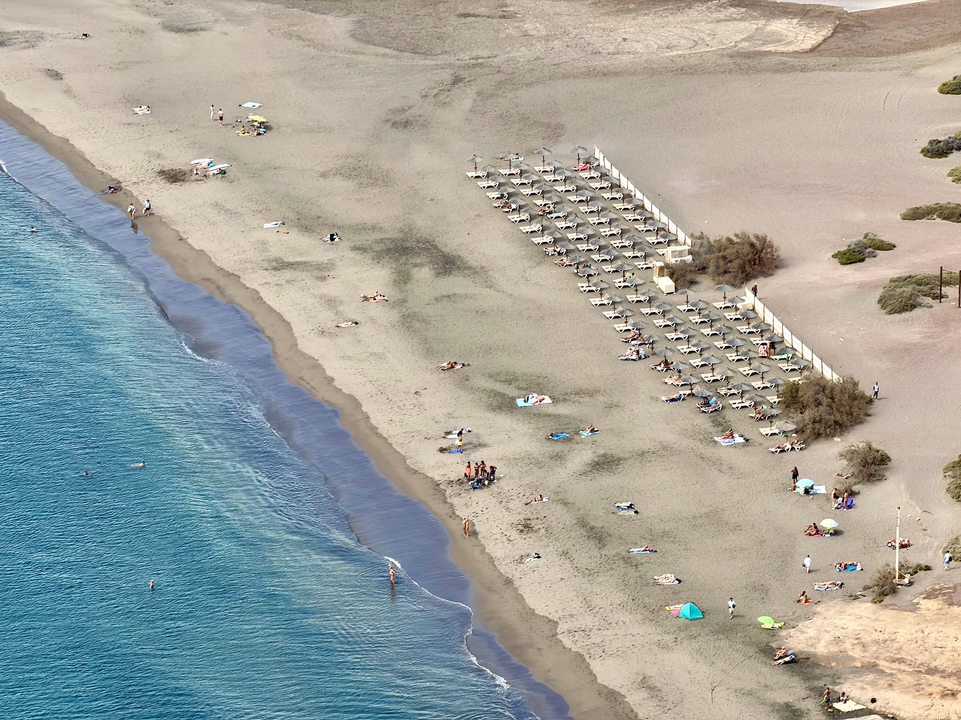
From the summit, though, you see the whole beach, and that’s the best argument for it. About a kilometer (0.6 mi) of natural beach runs along the foot of the cone with nothing built on it. It sits inside the Montaña Roja reserve, so there are no cars on the sand, no promenade and no hotels on the beach itself, which in the south of Tenerife is rarer than it should be. It’s also in our guide to Tenerife’s black sand beaches.
The rest we didn’t check ourselves. It comes from the island’s tourism board and other visitors’ reports:
- Parking: more than 100 spaces along the El Médano to Los Abrigos road, a few minutes’ walk from the sand on one of several paths. From car park 2, it took us a minute or two.
- Shade and facilities: no natural shade at all. Sun loungers are for hire and there are bins, but no restaurant on the beach. El Médano is five minutes away by car.
- Swimming: the beach shelves gently, and there are lifeguards in high season. Like the volcano behind it, it catches the trade wind, so expect a breeze.
- Naturism: nudists are welcome on part of the beach.
Afterwards we went into the small shopping center at La Tejita for water. Andrea bought a pastry, which turned out to be filled with tuna, so I ate that too.
Candelaria: The Basilica, the Missing Statues and €1 Churros
Candelaria is a small seaside town on the east coast, about 20 km (12 mi) south of Santa Cruz. In theory, it has a basilica and nine statues of Guanche kings. In practice, it has the basilica.
Parking in Candelaria
As usual, parking was terribly hard. We first drove down to the car park on the seafront, which was completely full, and then circled the town for a good fifteen minutes. In the end, we found a car park on Google Maps labeled simply “Parkplatz,” which tells you who the town expects. It’s a municipal car park clearly meant for visitors, perfectly decent, and the first two hours are free. After that, three hours cost €2 (~$2.2 USD) in total, and every hour beyond adds €3, so it suits a visit, not a day. From there it’s a short walk down to the center.
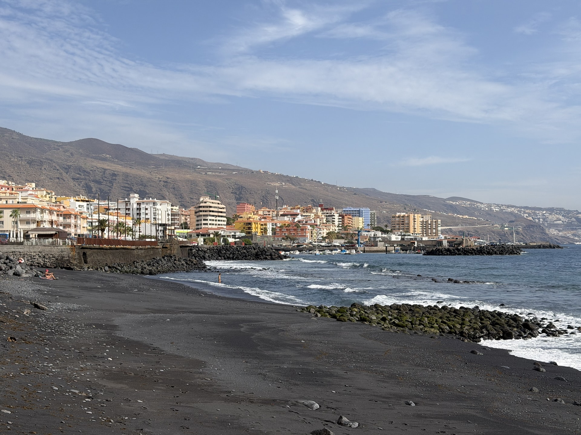
The square in front of the basilica is a building site until at least late 2027, and the works are removing the last parking spaces on the street beside it. Come on a weekday morning, and avoid August 14-15 and February 2, when pilgrims from all over the island descend on the town.
The Basilica of Our Lady of Candelaria
From the car park, we walked down to the main pedestrian street. Candelaria is a very touristy town, clearly set up for visitors, and the street is short: souvenir shops, cafés, and at the end, the sea and the Basilica of Candelaria. We looked at it inside and out.
It’s younger than it looks. The basilica was designed by the architect José Enrique Marrero Regalado and consecrated in 1959, and it became a minor basilica in 2011. What it houses is much older. According to the legend, Guanche herders found a statue of the Virgin on the shore in the late 14th century, a century before the Spanish conquest, and it has been venerated here ever since. The Virgin of Candelaria has been the patron saint of the Canary Islands since 1599. The figure you see today isn’t the original, though. That was lost in a flood in 1826, and the current one was carved by Fernando Estévez the following year.
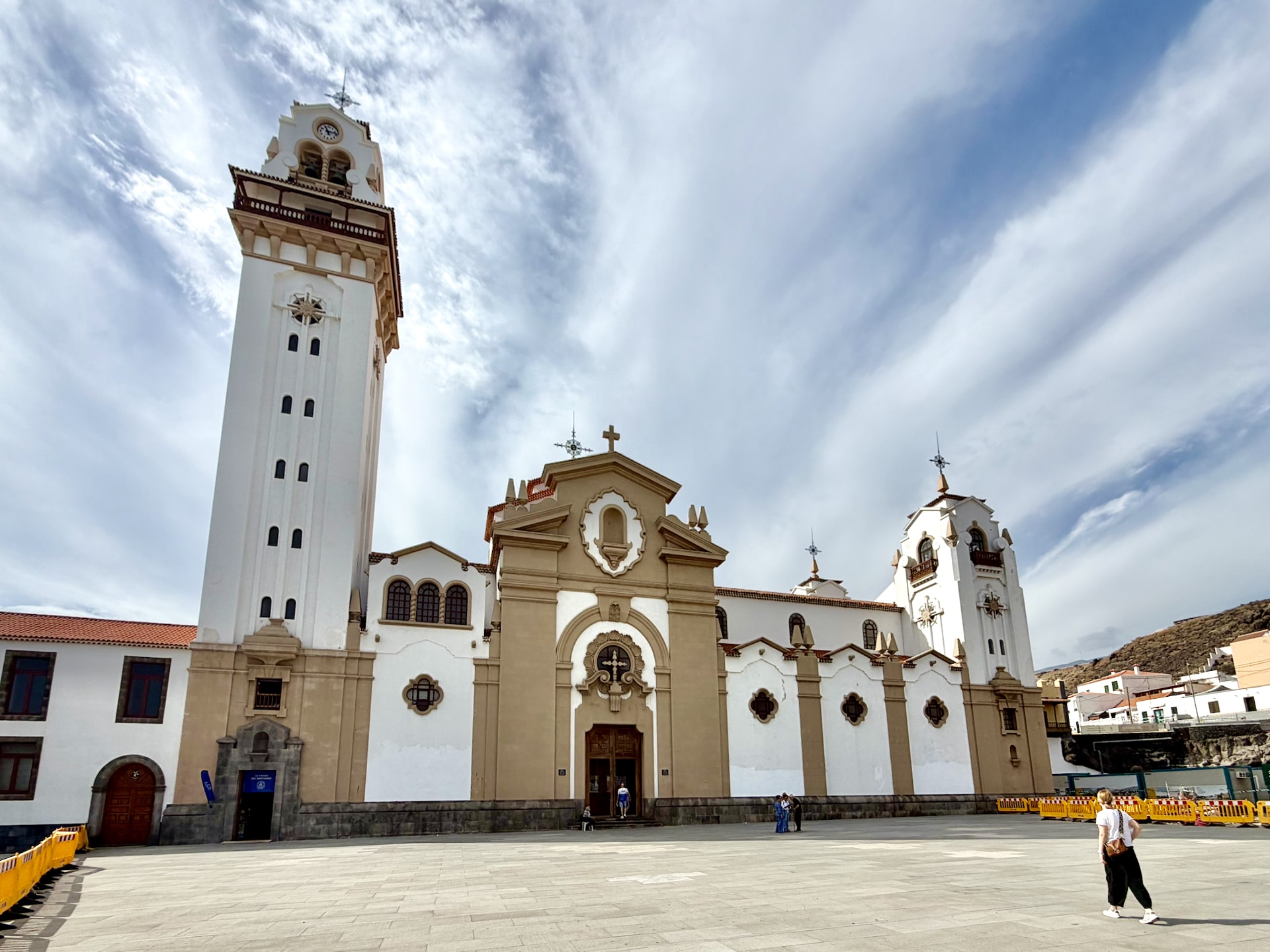
Entry is free. According to the island’s tourism board, the basilica opens at 7:30 every day except Monday, when it opens at 15:00, and closes at 19:30, with changes during festivals. It’s a working church with daily Mass, so dress and behave accordingly. Behind it, by the sea, is the Cave of San Blas, where the Guanches originally kept the statue. We missed it.
Where are the Guanche statues?
The other famous sight in Candelaria is a row of nine larger-than-life bronze statues of the menceyes, the Guanche kings who ruled the nine kingdoms of Tenerife until the Spanish conquest in 1496. They were made by the Tenerife sculptor José Abad and stood on the seafront of the square in front of the basilica from 1993.
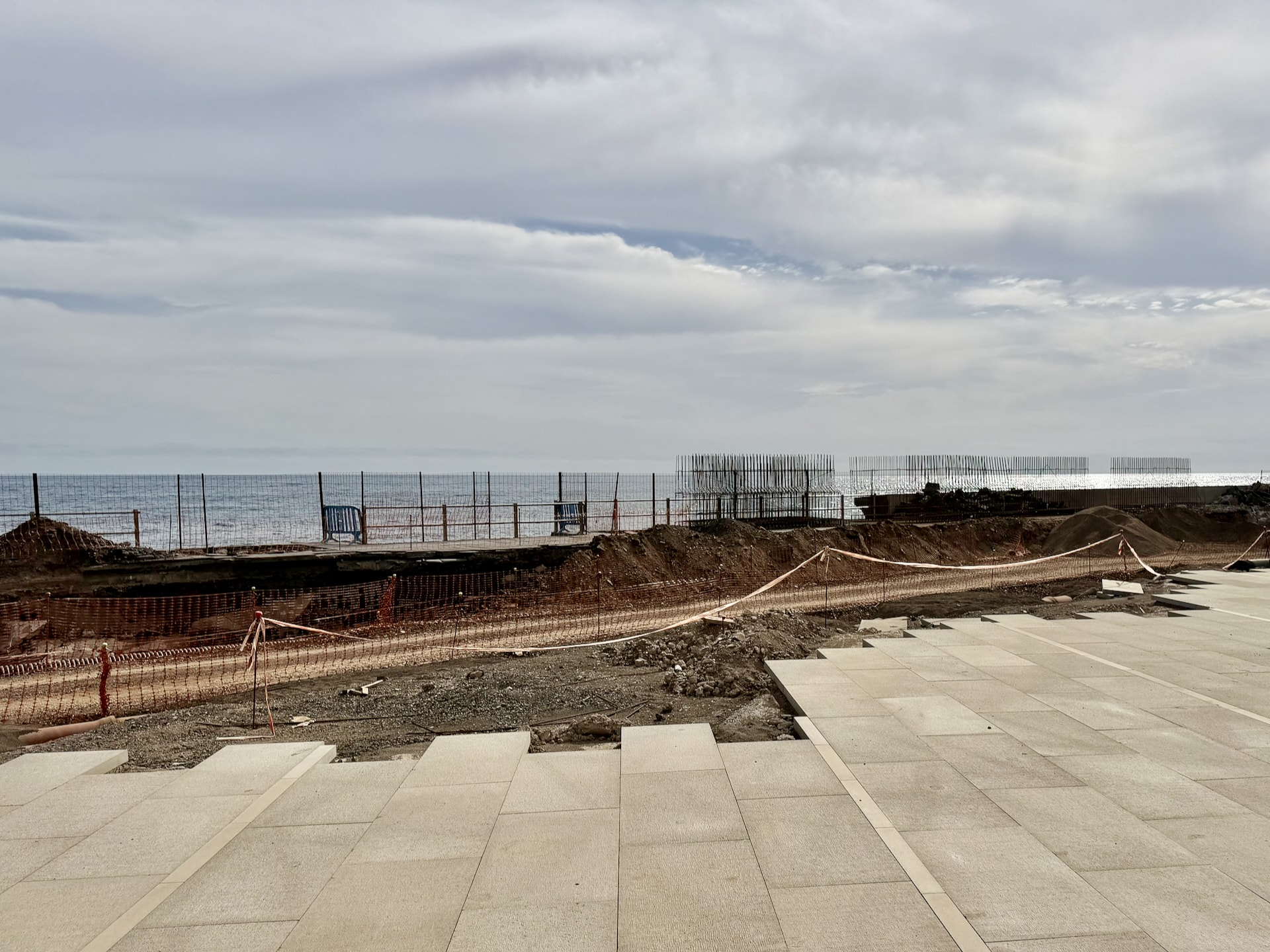
They weren’t there. In their place was a building site. I assumed something was being renovated and that the statues had been taken away, and that is roughly what happened. On July 29, 2025, the statues were removed for a complete remodeling of the Plaza de la Patrona de Canarias. The statues will return when the work is finished. The last estimate we found put that at December 2027, and in October 2026 the works were still ongoing.
So if you’re coming to Candelaria for the menceyes, don’t, not yet.
Souvenirs
We went into a handicraft souvenir shop and bought a few small things: a fridge magnet, a small cactus, a lizard keyring made of black lava stone, and a bracelet for Peter. Andrea bought a postcard. It came to €15.95 (~$17.9 USD).
Churros, a barraquito and empanadas
After that we were desperate for coffee, and I’d spotted a churros place on Google Maps, Churrería El Guanche, a block up from the main street. We sat outside. For €1, you get four churros, each roughly the length of my forearm.
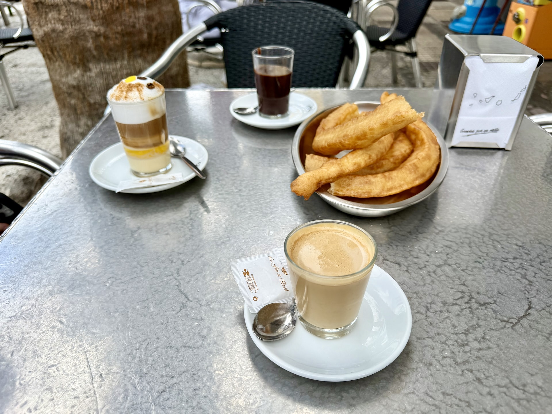
I had a cortado. Andrea had a barraquito, Tenerife’s own coffee, served in a glass in layers. I’d have told you it had lemon liqueur in it. Close: it’s condensed milk at the bottom, then Licor 43, a Spanish vanilla and citrus liqueur, then espresso and frothed milk, with lemon peel and a dusting of cinnamon. It was invented in Santa Cruz de Tenerife and named after a regular at one of its bars.
One more stop before we left: Mándatela, an empanada place. That was less of a bargain: I paid €6.90 (~$7.7 USD) for a chorizo and cheese empanada, a beef empanada and a Sprite.
Planning a Day in South-East Tenerife
Here’s what our day actually looked like:
| Time | Where |
|---|---|
| 10:55 | Candelaria, parked after the hunt |
| 11:00-12:20 | Main street, basilica, souvenirs, churros, empanadas |
| 13:20-15:30 | Montaña Roja loop and summit |
| 15:40 | La Tejita, car park 2, then water in La Tejita |
| 16:00 | Drive back north |
| 17:45-19:00 | La Orotava |
The parking hunt in Candelaria cost us a good chunk of the morning, so we only reached Montaña Roja around 13:00, in the hottest part of the day. If I did it again, I’d do it the other way round: Montaña Roja first, in the morning, then lunch and Candelaria on the way back north.
By the time we left La Tejita it was nearly 16:00, so instead of returning along the west coast as planned, we took the motorway up the east side, which was faster. That finally gave us time for La Orotava, the old town above Puerto de la Cruz, which would have been a real shame to miss. It’s in our Puerto de la Cruz guide.
FAQ
How long is the Montaña Roja hike?
Our version of the AllTrails “Montaña Roja (Red Mountain)” loop, around the back of the volcano along the coast and then up to the summit, started from the Montaña Roja car park rather than La Tejita and skipped the last stretch to the beach. It was 4.2 km (2.6 mi) with 171 m (561 ft) of climbing: 1 hour 32 minutes of walking, 2 hours 9 minutes with photo stops. The full AllTrails loop from La Tejita is 4.8 km (3 mi).
How high is Montaña Roja?
171 m (561 ft) above sea level, according to Tenerife’s tourism board. The climb is short but steep, on loose gravel.
Where do you park for Montaña Roja?
There are two car parks for the reserve, one on the El Médano side and one by La Tejita beach. We started from the Montaña Roja car park on the El Médano side (“Inicio sendero” on Google Maps) and moved the car to La Tejita afterwards. The AllTrails loop starts from the La Tejita car park.
Is Playa de La Tejita good for swimming?
We didn’t swim there. According to the tourism board and visitors’ reports, the beach shelves gently, there are lifeguards in high season, and there’s no shade. It’s windy, and part of the beach is used by nudists.
Is Montaña Roja hard?
Not long, but harder than it looks. The surface is loose and slippery, there’s no shade, and the south is hot even in October. Proper shoes and plenty of water make all the difference.
Is Candelaria worth visiting?
For the basilica, yes, as a stop of an hour or two on the way south. Until the square reopens, the menceyes statues are gone and part of the seafront is a building site.
Where can you park in Candelaria?
The seafront car park fills up. We used a municipal car park above the center where the first two hours are free, listed on Google Maps as “Parkplatz.”
Are the Guanche statues back in Candelaria?
Not as of October 2026. They were removed on July 29, 2025, for the renovation of the Plaza de la Patrona de Canarias and will return when the works finish, estimated for December 2027.
What is a barraquito?
Tenerife’s layered coffee: condensed milk, Licor 43, espresso and frothed milk, with lemon peel and cinnamon. It comes from Santa Cruz de Tenerife.