The plan for our day in Anaga was the classic one: drive the mountain road along the ridge, stop at every viewpoint, walk a little in the laurel forest, then do a short hike on the coast. The ridge had other ideas. We spent the first hour driving inside a cloud, stopped at two viewpoints with nothing to see, and gave up on the forest. What saved the day was the simple fact that the cloud sat on the mountains, not on the sea. Down on the coast it was sunny.
So this is an honest account of one day in Anaga Rural Park, in the north-east corner of Tenerife: what it’s like when the ridge is socked in, the coast and the hike that made up for it, and what we missed. The forest side I only know through a windscreen full of fog, so everything about it here comes from official sources, and I say so where it matters.
The short version:
- If the ridge is in cloud, go down to the coast. It’s often clear below.
- Best hike for a first visit: the Benijo to Cruz del Draguillo loop, about 5 km and 400 m (1,310 ft) of climbing. It took us 3 hours 20 minutes.
- Best beach: Roque de las Bodegas. Playa de Benijo has been closed since 2024.
- Plan a full day. Getting there, the road and the parking all take longer than you think.
What Anaga Rural Park Is
Anaga is the oldest part of Tenerife, a volcanic massif formed around 7 to 9 million years ago. That’s old by Tenerife’s standards and young by anyone else’s, and it shows the same way as the rest of the island: steep ridges, deep ravines and tiny villages clinging to the slopes. It has been a rural park since 1994 and a UNESCO Biosphere Reserve since 2015, and it’s often described as having the greatest concentration of endemic species in Europe. The highest point is only 1,024 meters (3,360 ft), but the ridges drop almost straight into the sea.
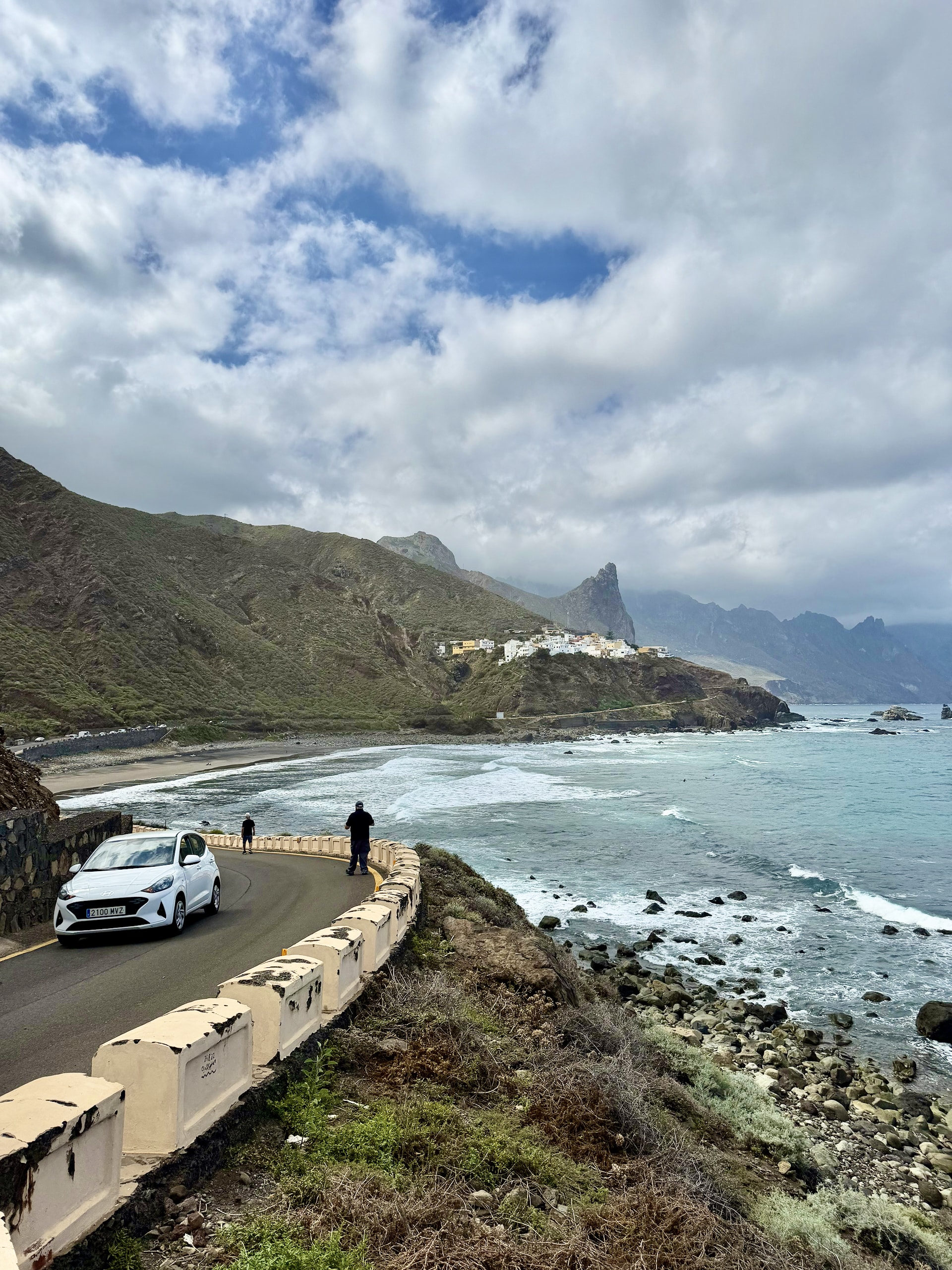
In practice, the park has two halves. Up top, the TF-12 road runs along the ridge through the laurel forest, with viewpoints and the visitor center at Cruz del Carmen. Below, on the north coast, the TF-134 drops in hairpins to Taganana and continues to the black sand beaches of Roque de las Bodegas, Almáciga and Benijo, where the road ends and the hiking trails begin.
Getting to Anaga, and the Morning Traffic
We left our apartment in La Quinta, near Puerto de la Cruz, at 9:20. The plan was an hour’s drive. The motorway towards La Laguna and Santa Cruz was jammed, so it took longer, and we reached the park at about 10:30.
The TF-5 motorway between the north coast and La Laguna clogs up with commuter traffic on weekday mornings. Set off early, or accept that your first hour in Anaga starts later than planned.
Without a car, it’s possible but slow. TITSA bus 946 runs from Santa Cruz to Almáciga, the nearest stop to the Benijo trailhead, and lines 76 and 275 stop at Cruz del Carmen on the ridge. Parking on the coast is limited everywhere, so the earlier you arrive, the easier it gets.
Anaga Forest in the Clouds: Driving the Ridge
Anaga’s forest is laurisilva, a humid evergreen laurel forest of the kind that covered much of southern Europe millions of years ago and survives today on a few Atlantic islands. It lives on the clouds that the trade winds push against the northern slopes, which is the catch: the same clouds that keep the forest green often sit right on top of the road.
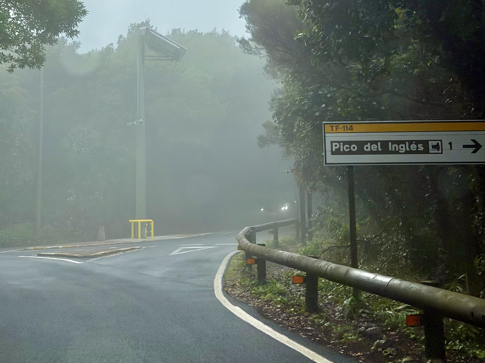
That’s exactly what we got. By 10:35 we were at around 1,000 meters (3,280 ft) near Cruz del Carmen, driving through thick fog on a winding mountain road. We stopped at a couple of viewpoints anyway, out of principle more than hope, and could see roughly as far as the guardrail. Walking in the forest in those conditions didn’t appeal, so we kept going down towards the coast.
Here’s what we missed, from official sources rather than experience:
- Cruz del Carmen visitor center, on the TF-12 at kilometer 22.5, with an exhibition on the park, toilets and parking. Open daily from 9:30 to 16:00, or until 15:00 in July, August and September.
- The Sendero de los Sentidos, which starts at Cruz del Carmen: three short trails through the laurel forest, about 2 km (1.3 miles) in total. The first has a boardwalk suitable for strollers and wheelchairs.
- El Pijaral, a strictly protected reserve of some of the island’s finest laurel forest. You need prior permission from the island government to walk it, so it’s not a spur-of-the-moment stop.
If the ridge is in cloud when you arrive, do the coast first and come back over the mountains in the afternoon. On our day, the cloud had cleared by the time we drove back.
Down to the Coast: Roque de las Bodegas and Benijo
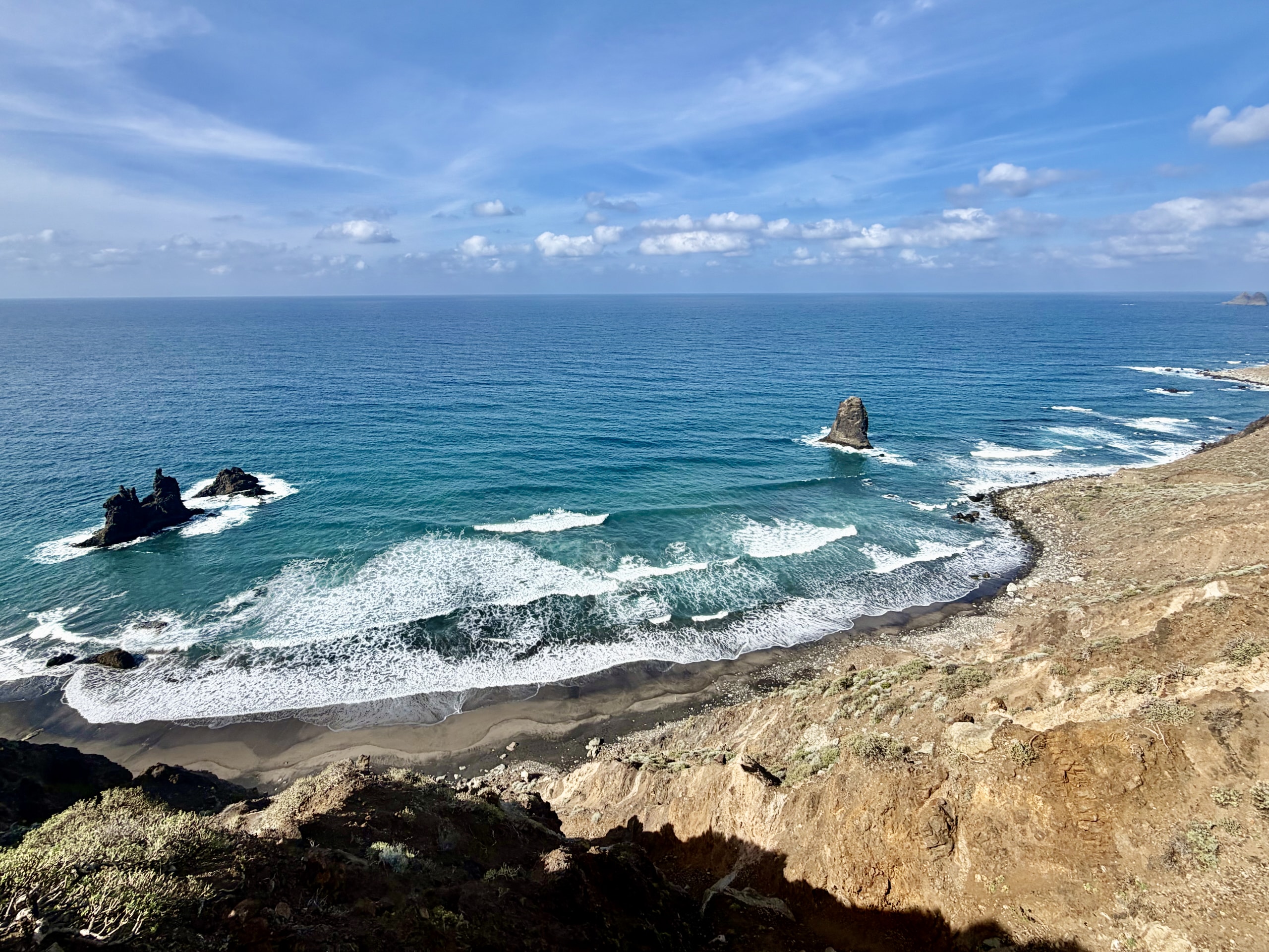
The road down to Taganana is a long series of hairpins, and somewhere on the way down you come out under the cloud. By 11:20 we were on the beach at Roque de las Bodegas in sunshine.
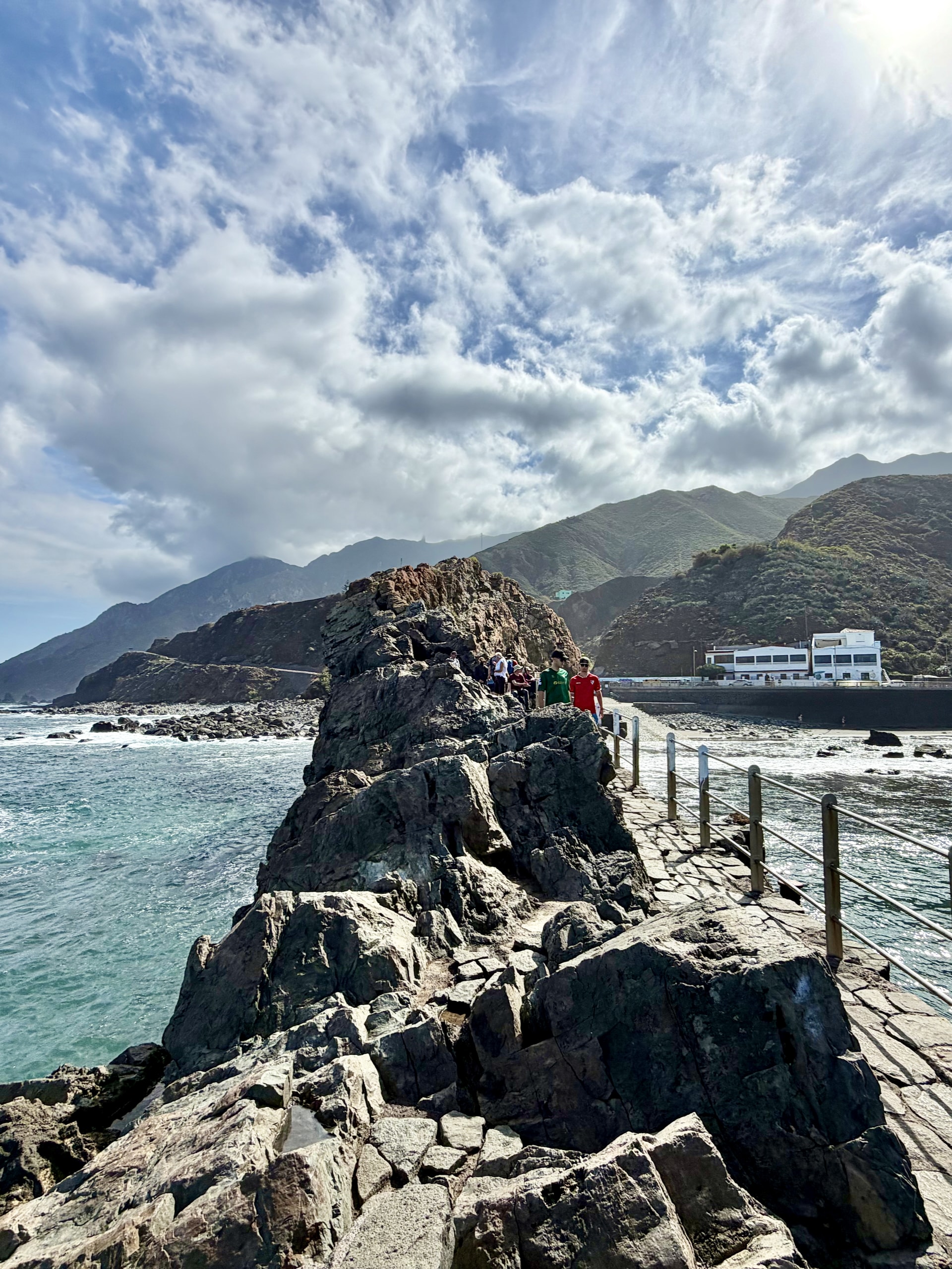
It was the best beach of the day: a huge cliff on one side, the rock that gives the place its name on the other, big waves and surfers. We walked out onto the rock, which has a proper walkway, and had a coffee at Casa África, right by the beach. We wrote about the beaches here, and the rest of the island’s, in our guide to Tenerife’s black sand beaches.
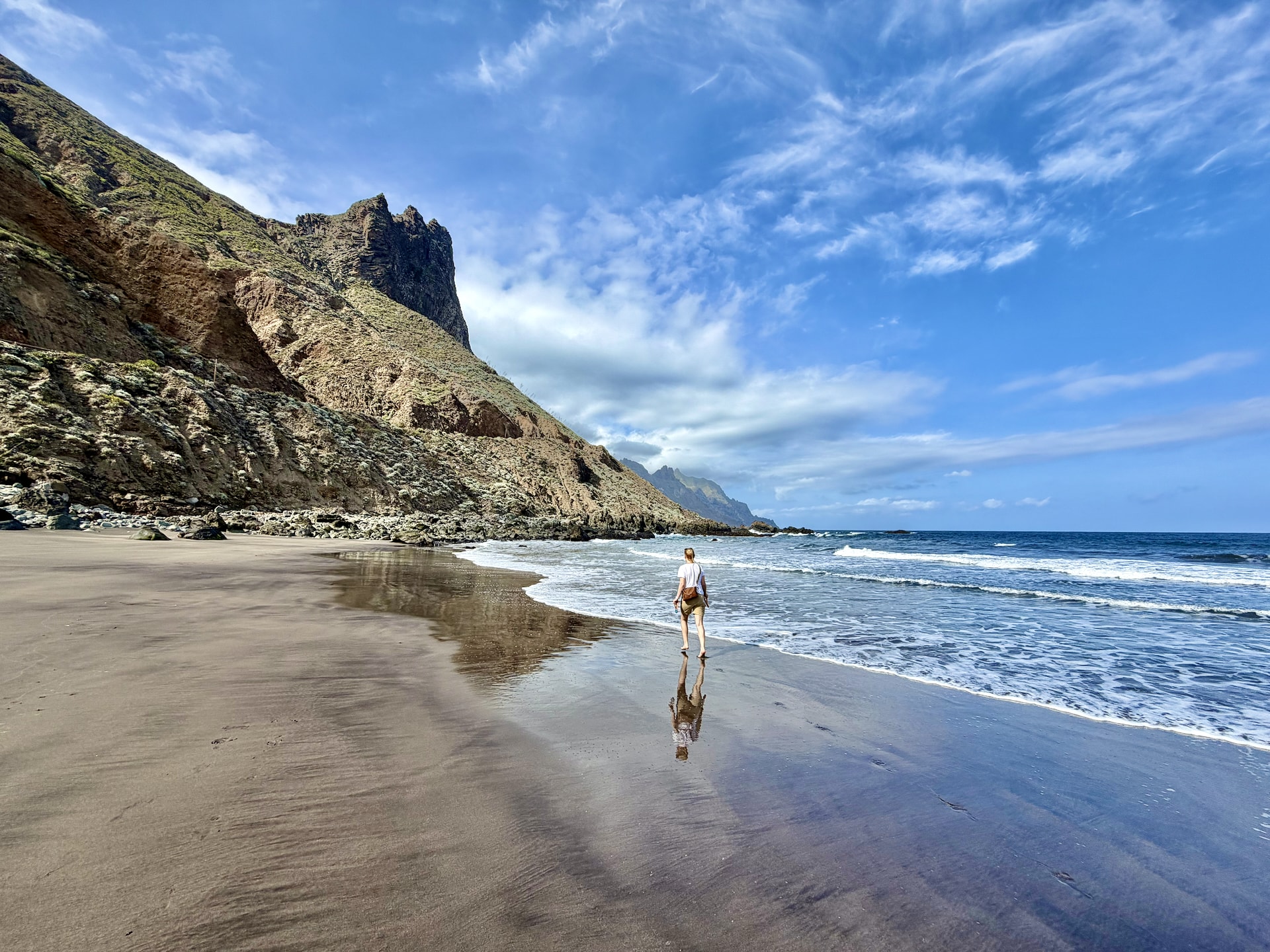
The road continues past Almáciga to Playa de Benijo, which is the more famous of the two but, from the road at least, the less dramatic. You can’t go down to it anyway. Access to the beach has been closed since July 2024, after rocks fell on the slope above its only staircase, and the local police report people who go down regardless. The stabilization works are funded but still waiting on permits, with no reopening date.
Just past Almáciga we met a small version of the same problem. The road was closed by a rockfall, and the man standing by the barrier told us it would take ten minutes. It took about ten minutes. A small digger pushed the rocks to the side, and we drove on.
Anaga Hiking: The Benijo to Cruz del Draguillo Loop
The hike was Andrea’s find on AllTrails, listed there as “PR-TF 6.3 Benijo – Cruz del Draguillo“: a loop of about 5.1 km (3.2 miles) with roughly 410 meters (1,345 ft) of climbing, estimated at 2.5 to 3 hours. On the official trail network it’s a combination of three marked paths:
- Up: PR-TF 6.3 from Benijo (80 m) to the Cruz del Draguillo pass (482 m, 1,580 ft), the steep part.
- Down: the PR-TF 6 path to the hamlet of El Draguillo.
- Back: PR-TF 6.2 along the coast track to Benijo.
No permit is needed for individual hikers, according to the island’s official trail site, TenerifeON.
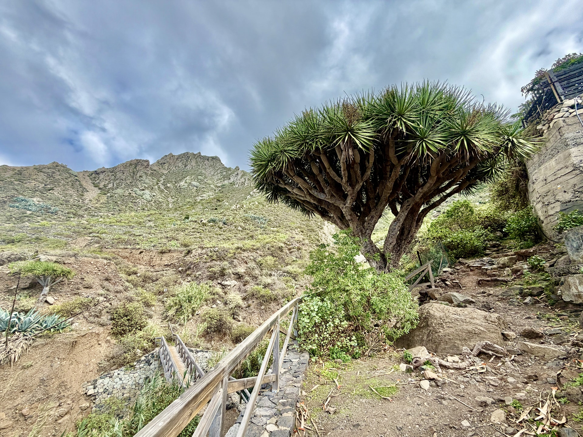
We parked in a small private car park at Benijo, which a sign said belonged to someone called Pepe. Pepe wasn’t there, so nobody asked us to pay. A little further on there’s a restaurant, El Frontón, where you can also park and start the loop, but from there you’d walk it in the opposite direction to the AllTrails route.
I’d do it the way we did. The climb up from Benijo is the harder part, but the other side, down towards El Draguillo, is worse: loose and rocky the whole way. Going up that side would have finished me off. Our way up was rocky too, but a better kind of rocky.
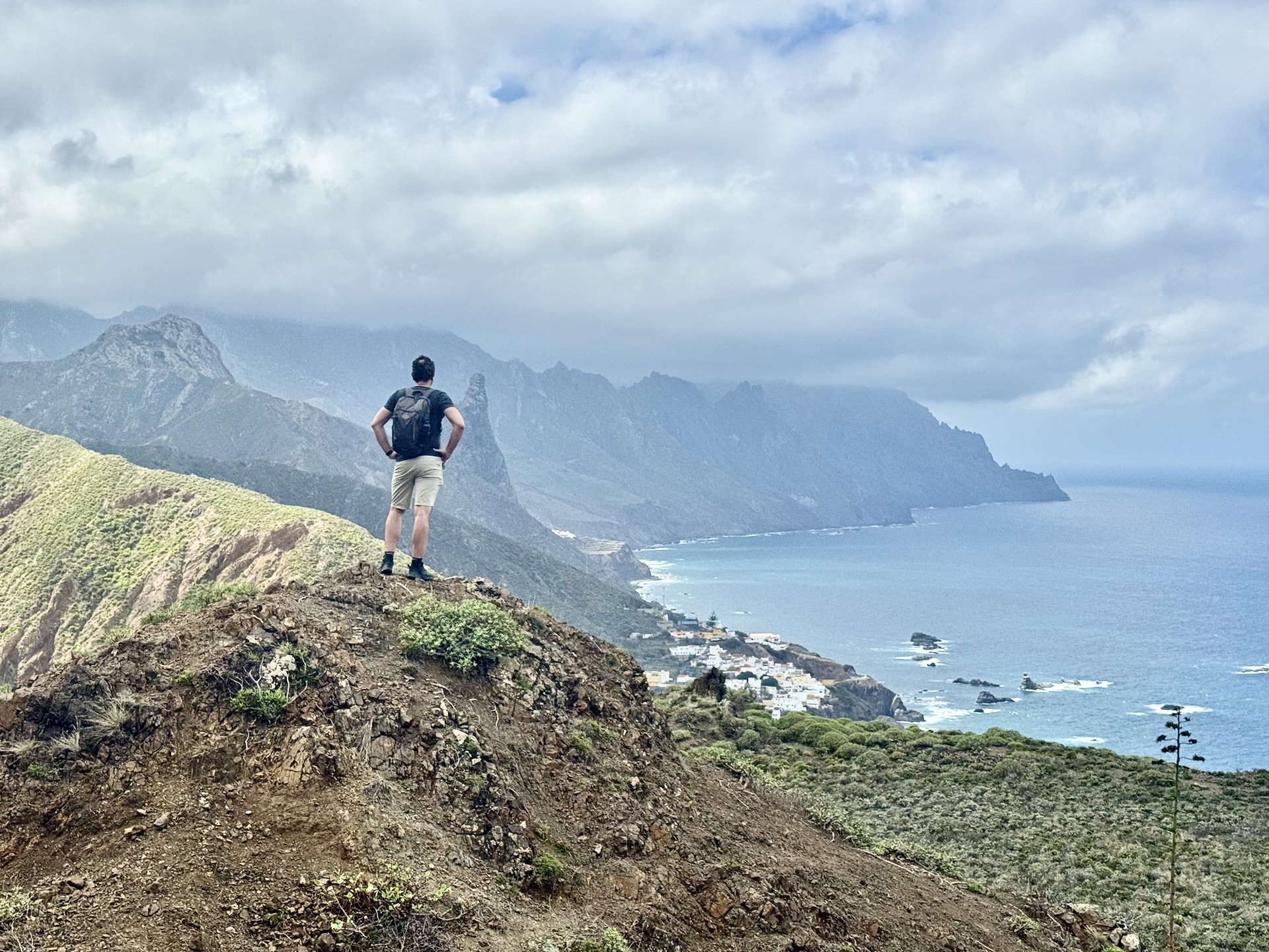
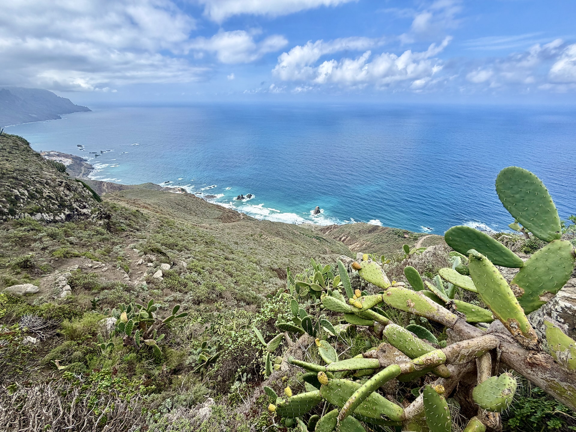
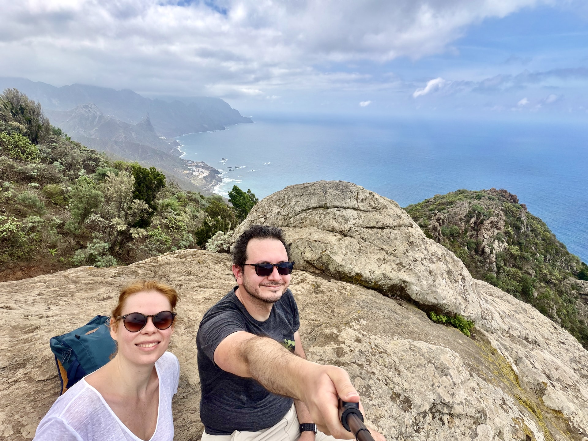
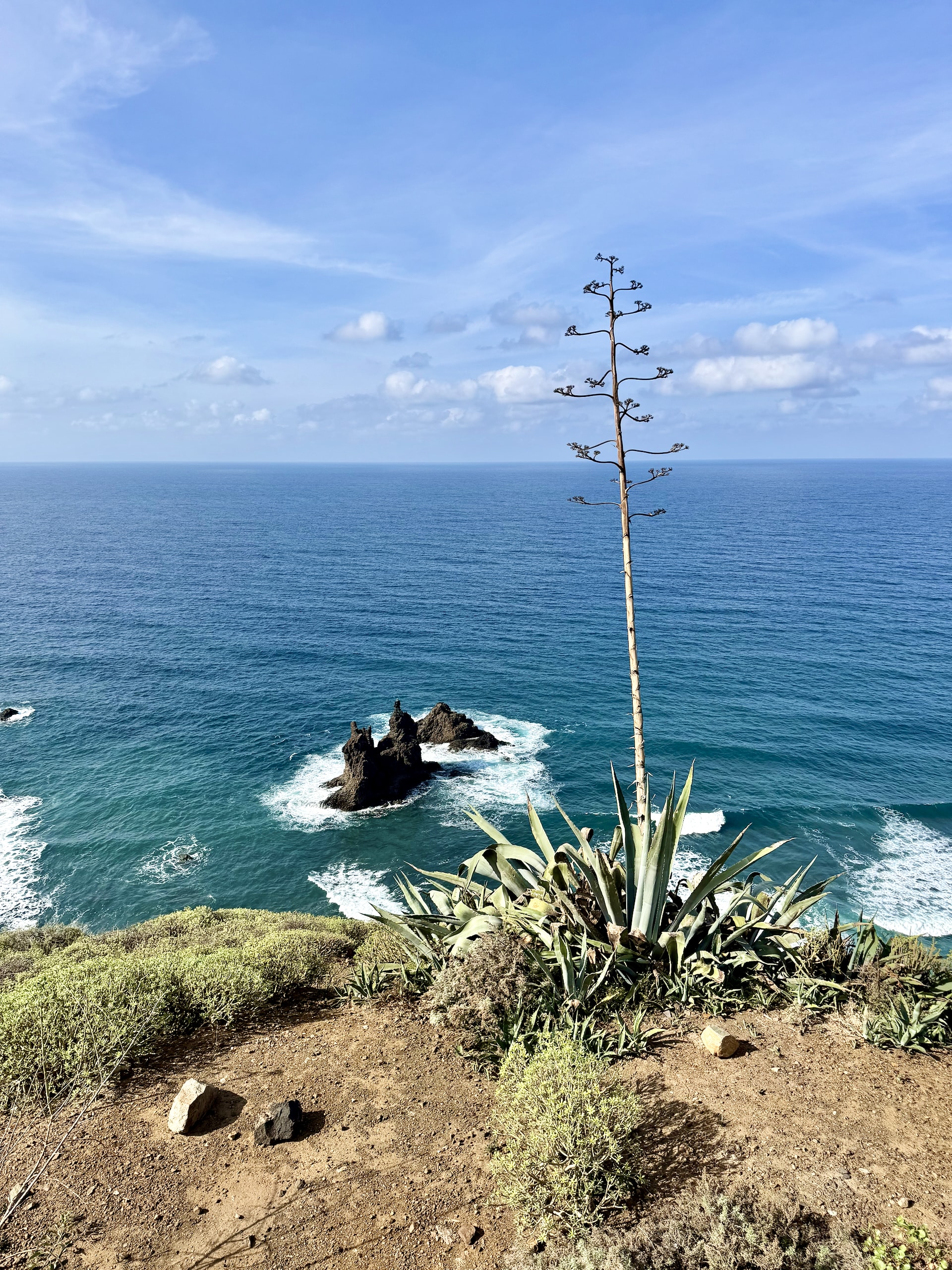
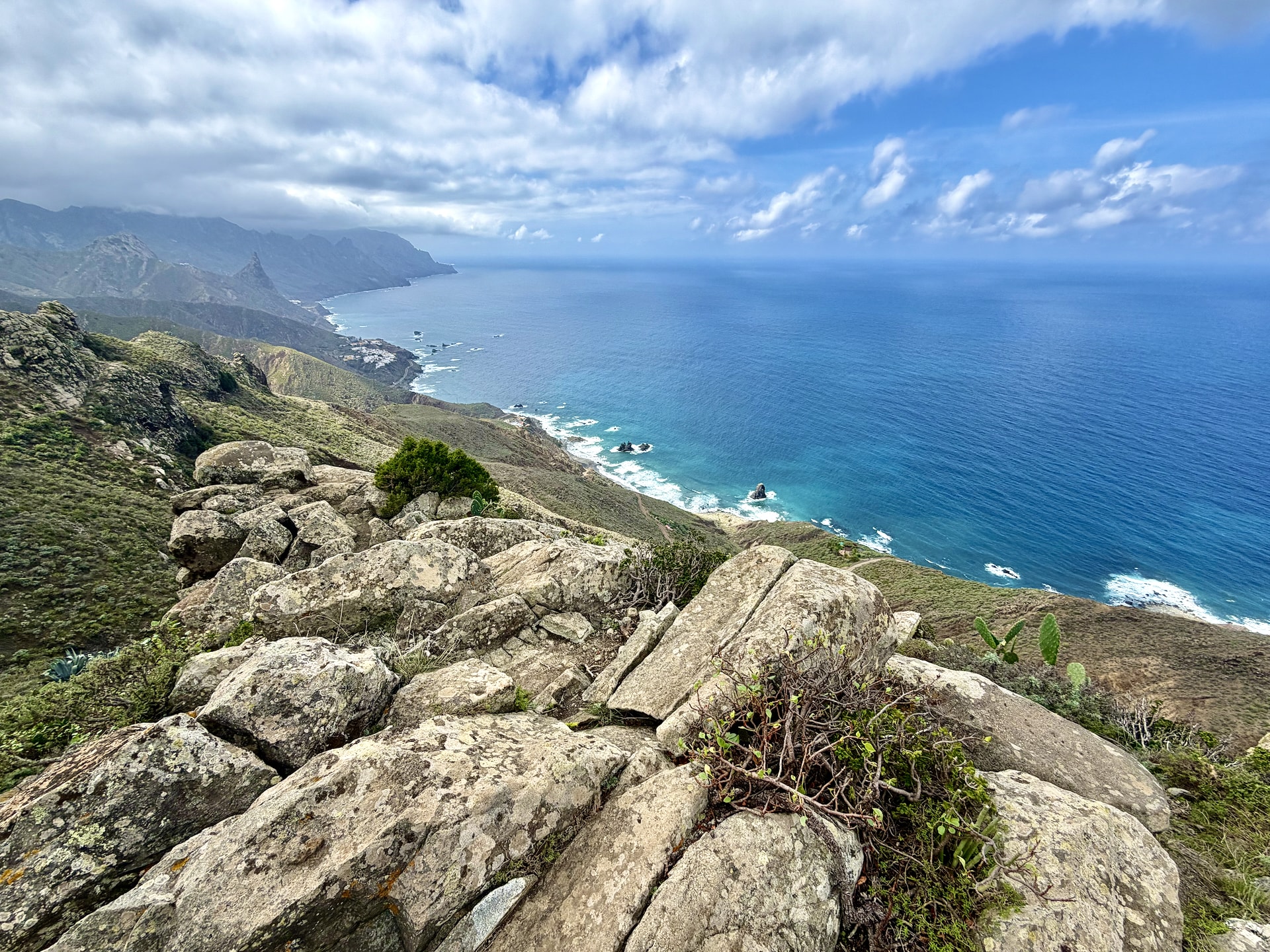
The views are good the whole way: back down to the beach we came from and the rocks offshore, and along the coast in the other direction, all black volcanic rock and big waves. About an hour in, at around 360 meters (1,180 ft), we got briefly lost. We came to a small closed gate and assumed the trail was closed. It wasn’t. The gate opens and you’re meant to go through it, presumably to keep goats in, although we never saw a goat, only what goats leave behind. After a short stretch downhill, the path climbs again to the top, at roughly 480 meters (1,575 ft), which we reached at about 15:00. We sat on a rock there for a while to enjoy it.
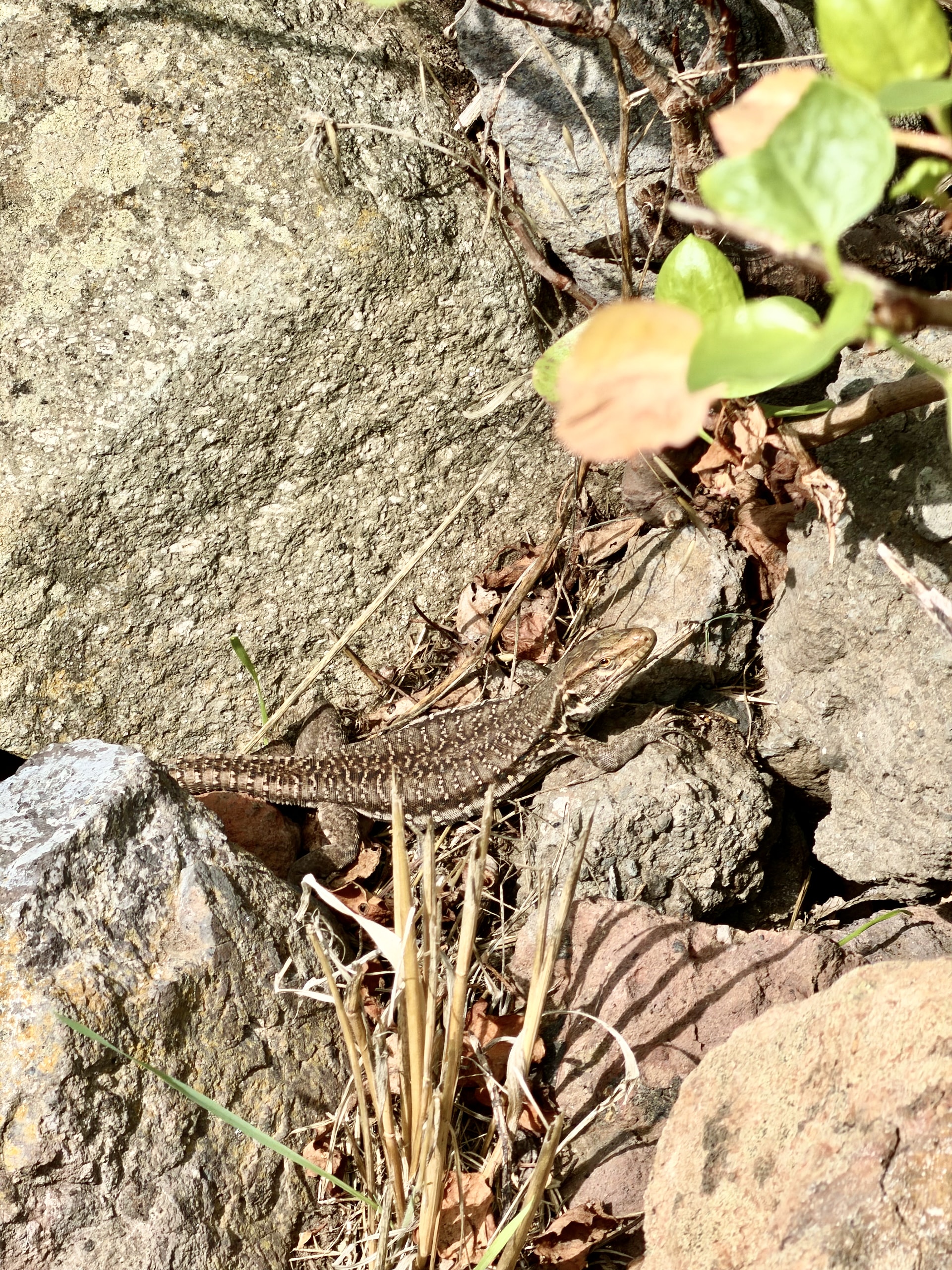
On the way down to El Draguillo there were plenty of lizards, big ones and small ones. They’re almost certainly Tenerife lizards (Gallotia galloti), a species found only here and on La Palma, and the big ones are a lot bigger than the lizards we see back home in Hungary: strong males can reach about 40 cm (16 in) including the tail. I’m more of a gecko person, but these were cute too.
El Draguillo is a handful of houses. From there the last stretch back to Benijo is a track, sometimes concrete, sometimes dirt, closed to traffic except for residents, I suspect. I didn’t read the small sign under the no-entry sign. We were back at the car at 16:39, after 3 hours 20 minutes, against the 2 to 3 hours on paper, and we were properly tired. That surprised us. It isn’t a long hike or a particularly hard one, and earlier this year we’d walked up to the Fitz Roy viewpoint in Patagonia, which is much longer and harder (it’s in our Patagonia and Antarctica itinerary). Apparently we were in worse shape than we thought. A cold drink and a coffee at El Frontón fixed most of that.
Check the alerts on TenerifeON before you drive out. Rockfalls close roads, trails and beaches in Anaga regularly, and the official route pages carry the current warnings.
Las Teresitas on the Way Back
Instead of driving back the way we came, we crossed the peninsula to the south coast and came out at Playa de Las Teresitas, near San Andrés, just east of Santa Cruz. The road over the mountains was clear by then. It was pretty, but I think the morning direction, coming down to Taganana, is the more spectacular one.
Las Teresitas is the opposite of everything else in Anaga: a long golden beach made with imported Saharan sand, a stone breakwater, tiny waves, very shallow water and plenty of parking. It didn’t do much for me, partly because of the LNG tanker anchored just offshore. We stayed about ten minutes. We’d also planned a walk around La Laguna’s old town on the way home, but after the hike we were sweaty and, frankly, smelly, so we spared La Laguna and went home.

Is Anaga Rural Park Worth It?
Yes, even on a day when the mountains are hiding. The coast alone is worth the drive: the cliffs, the rock stacks and the black sand beaches are the wildest scenery we saw in the north of the island. If you hike, the Benijo loop is a demanding but manageable half day with views the whole way.
Just plan a full day, expect the ridge to be in cloud, and keep the forest as a bonus rather than the point. If you get a clear morning, you get both. We’ll know for next time.
FAQ
Do you need a permit to hike in Anaga Rural Park?
For most marked trails, no. Individual hikers can walk routes like the PR-TF 6.3 and 6.2 freely. The exception is El Pijaral, a protected laurel forest reserve, which needs prior permission from the island government.
How do you get to Anaga without a car?
TITSA bus 946 runs from Santa Cruz to Almáciga, near Benijo and the coastal trailheads. Lines 76 and 275 stop at Cruz del Carmen on the ridge. Buses are infrequent, so check the timetable before you go.
Is Anaga always cloudy?
Not always, but the ridge often is. The trade winds push clouds against the northern slopes, which is what keeps the laurel forest alive. The coast below is frequently clear even when the mountains are not.
Can you swim at Playa de Benijo?
Not at the moment. Access to Benijo beach has been closed since July 2024 because of rockfalls above the access stairs, and there is no reopening date yet. Roque de las Bodegas, a few minutes along the same road, is open.
How long does the Benijo to Cruz del Draguillo loop take?
AllTrails estimates 2.5 to 3 hours for its 5.1 km (3.2 miles). It took us 3 hours 20 minutes, with photo stops and a rest at the top.
Before You Go
- Leave early, or expect morning traffic on the way in.
- Check TenerifeON’s alerts for rockfall closures.
- If the ridge is in cloud, do the coast first.
- Bring proper shoes for the hike. The descent to El Draguillo is loose rock.
- Don’t plan an evening in La Laguna after a hike. You won’t want one.